National workshop outlines path toward flood mapping standards in Canada
A national workshop co-hosted by Natural Resources Canada, Public Safety Canada, and the Standards Council of Canada has revealed strong consensus on the need for national flood mapping standards in Canada.
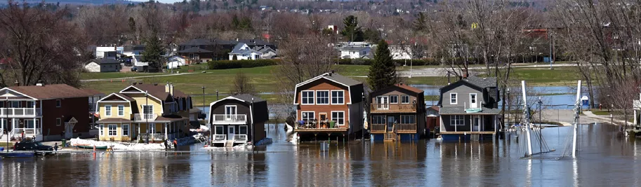
The impacts of flooding and natural disasters are rising quickly in Canada. The costs of natural disasters covered by federal assistance increased tenfold between 2005 and 2014, with flooding accounting for 75% of that increase. These trends underscore the need for new tools to protect Canadian homes, communities and public infrastructure.
At the national level, the Federal Flood Mapping Guidelines Series can be referenced to improve flood mapping procedures.They are not, however, formal standards. So, on Tuesday, February 25, 2020, the Federal Flood Mapping Guidelines Series Standardization Workshop was held to kick off a national conversation on establishing flood mapping standards and contributing to safer and more resilient communities across Canada. The one-day event took place at Carleton University in Ottawa, Ontario.
Approximately 70 participants from across different sectors and regions of the country attended, representing provincial and territorial governments, municipalities, federal agencies, Indigenous communities, Conservation Authorities, Standards Development Organizations, industry and not-for-profit organizations.
The workshop revealed a sense of urgency and a clear desire for leadership in standardizing national guidelines. The discussion highlighted several important themes to guide next steps:
- Strong support for standardization and understanding of its benefits, including consistency for end users of flood maps, easier interpretation of the maps, increased ability to operate across jurisdictions, better communication and understanding, and long-term cost savings.
- The need for a national approach, including choosing a design standard that could be achievable on a national scale, standardizing the right tools, and attaining buy-in across Canada;
- Strong alignment on the path forward, including the need to clarify purpose and scope, assess users’ needs, set up governance structures, and establish baseline information; and
- A desire for continued involvement in the future standardization of the Guidelines Series.
A key output of the workshop was a high-level roadmap outlining key actions to be taken over the next five years. The roadmap will guide next steps for the organizations involved and can be found on p.10 of the Federal Flood Mapping Guidelines Series Standardization Workshop Summary Report.
For more information about flood mapping, please see the Federal Flood Mapping Guidelines Series Natural Resources Canada’s flood mapping information website. For flood related information, visit Public Safety’s website.